since 1998
Technology-
Driven Surveys
Future-Ready Data with Cutting-Edge Tech
Next-Generation Survey Technology for Digital India
Lead India’s digital transformation with cutting-edge survey technology that delivers unprecedented accuracy and speed. Our advanced drone, LiDAR, and GIS solutions provide real-time data for smart city planning, digital governance, and Industry 4.0 initiatives—positioning your projects at the forefront of technological advancement.
Advanced Technology Solutions:
Drone & Aerial Mapping Surveys
Complete large-area surveys in days, not months
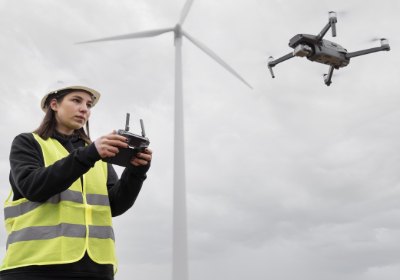
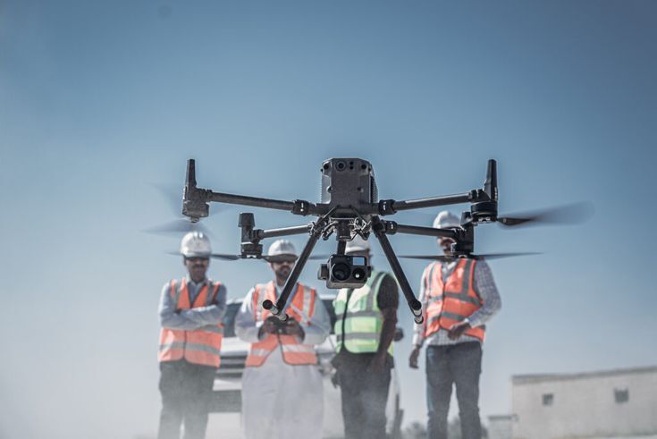
DGCA-certified drone operations covering 1000+ acres daily with centimeter accuracy. Our UAV surveys reduce traditional survey timeframes by 80% while providing comprehensive aerial data—essential for large infrastructure projects, mining operations, and agricultural land assessment.

LiDAR & GPS-Based Surveys
Millimeter precision for critical infrastructure projects
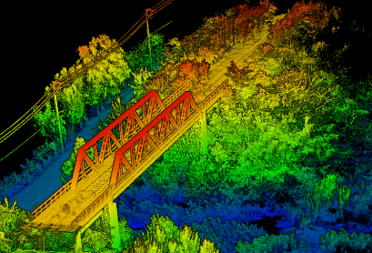
Terrestrial and airborne LiDAR systems providing point cloud data with sub-centimeter accuracy. Essential for dam construction, high-rise building surveys, and heritage structure documentation where precision is critical for safety and structural integrity.
GIS & Geographical Mapping
Smart city-compatible spatial data infrastructure
ArcGIS and QGIS-based spatial analysis supporting smart city initiatives and digital governance. Our GIS solutions enable real-time decision making, asset management, and citizen services—essential for modern urban administration.
Digital Mapping & 3D Modeling
Virtual reality project visualization and planning
BIM-compatible 3D models supporting architectural visualization, construction planning, and facility management. Our digital twins reduce design errors by 60% and enable virtual project walkthroughs—accelerating stakeholder approvals and investment decisions.
Thermographic & Fire Safety Surveys
Prevent fire hazards with thermal imaging precision
NFPA-compliant thermal surveys identifying electrical faults, insulation defects, and fire risks in industrial facilities. Our thermographic analysis prevents equipment failures and fire incidents that could cause massive production losses and safety hazards.
From land demarcation to LiDAR mapping
Accord delivers end-to-end surveying solutions across industries