since 1998

Infrastructure &
Engineering Surveys

Powering India’s Roads, Rails, and Utilities.

Building Tomorrow's India with Survey-Grade Precision

Power India’s infrastructure boom with engineering surveys that prevent million-rupee project delays. Our CPWD-empaneled team delivers precision alignment surveys using DGPS and Total Station for highways, railways, and transmission networks—ensuring projects meet deadline, budget, and safety specifications that protect both investments and lives.

Engineering Excellence

Road & Highway Surveys

Prevent costly realignments and construction delays
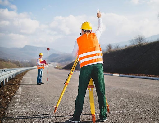
NHAI and PWD-standard highway surveys using DGPS-RTK and total station technology. Our alignment accuracy prevents expensive mid-construction corrections that typically cost 20-40% additional project expense. Essential for NH, SH, and expressway projects nationwide.

Railway Engineering & Traffic Surveys

Critical safety surveys for high-speed rail infrastructure
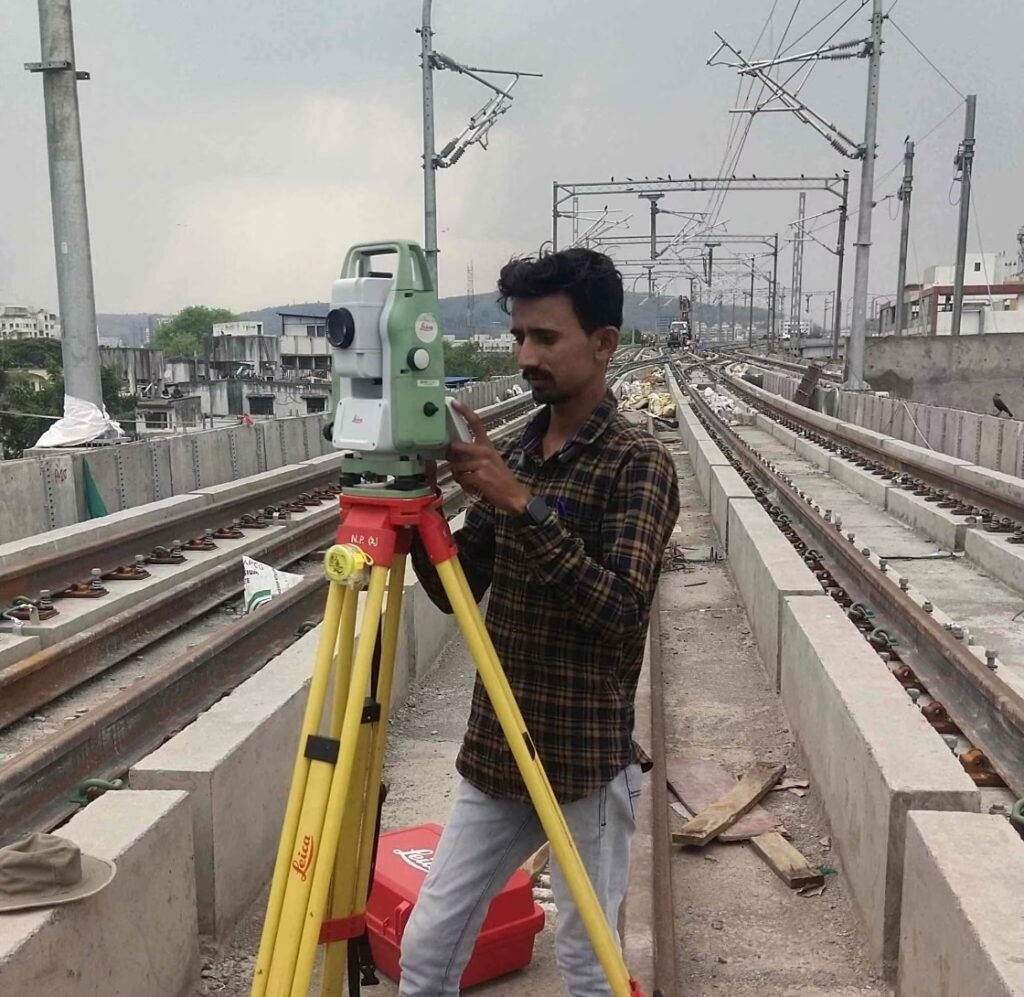
Indian Railways-approved alignment surveys for metro, suburban, and high-speed rail projects. Our surveys ensure curve geometry, gradient compliance, and station placement accuracy—preventing operational safety issues that could halt services and cause massive revenue losses.

Transmission Line Surveys

Minimize land acquisition costs and environmental clearances
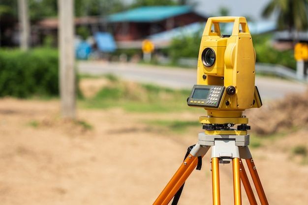
PGCIL and state electricity board-approved transmission corridor surveys. Our route optimization and DGPS, Total Station Surveys reduces land acquisition by 15-25% while ensuring minimal environmental impact—accelerating project clearances and reducing overall project costs.

Pipeline Route & Storm Water Drainage Surveys

Prevent urban flooding with precision drainage design
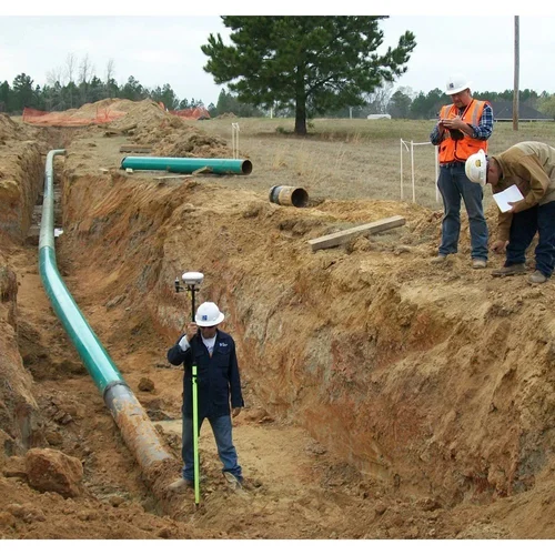
Smart city-compatible drainage surveys using hydraulic modeling and GIS integration. Our surveys prevent urban flooding incidents that cost cities hundreds of crores in infrastructure damage and economic disruption.

Topographic & Automatic Level Surveys

Construction-grade accuracy for zero-error execution
Sub-centimeter accuracy topographic surveys using robotic total stations and digital levels. Essential for high-rise construction, industrial plants, and infrastructure projects where millimeter precision prevents structural failures and safety hazards.

Canal & Layout Surveys

Optimize water distribution and irrigation efficiency
Central Water Commission-standard canal surveys supporting irrigation and flood control projects. Our hydraulic analysis ensures optimal water flow and distribution, maximizing agricultural productivity and water resource utilization.

Redevelopment & Infrastructure Planning Surveys

Smart city-ready comprehensive infrastructure mapping
Integrated surveys supporting smart city initiatives and large-scale urban redevelopment. Our multi-disciplinary approach combines topographic, utility, and environmental surveys using DGPS and Total Station—providing complete data packages for complex infrastructure projects.

From land demarcation to LiDAR mapping

Accord delivers end-to-end surveying solutions across industries